Chris & Julie Tzaros, Birds Bush and Beyond
Commencing in Autumn 2019, birds have been sampled at a range of forest, woodland and revegetation sites throughout the broader Strathbogie Ranges area of north-east Victoria. These surveys were repeated in Summer 2020, Spring 2021, Summer 2023 and Autumn 2024. This work was overseen and funded in partnership by the Goulburn Broken Catchment Management Authority and the Strathbogie Ranges Conservation Management Network.
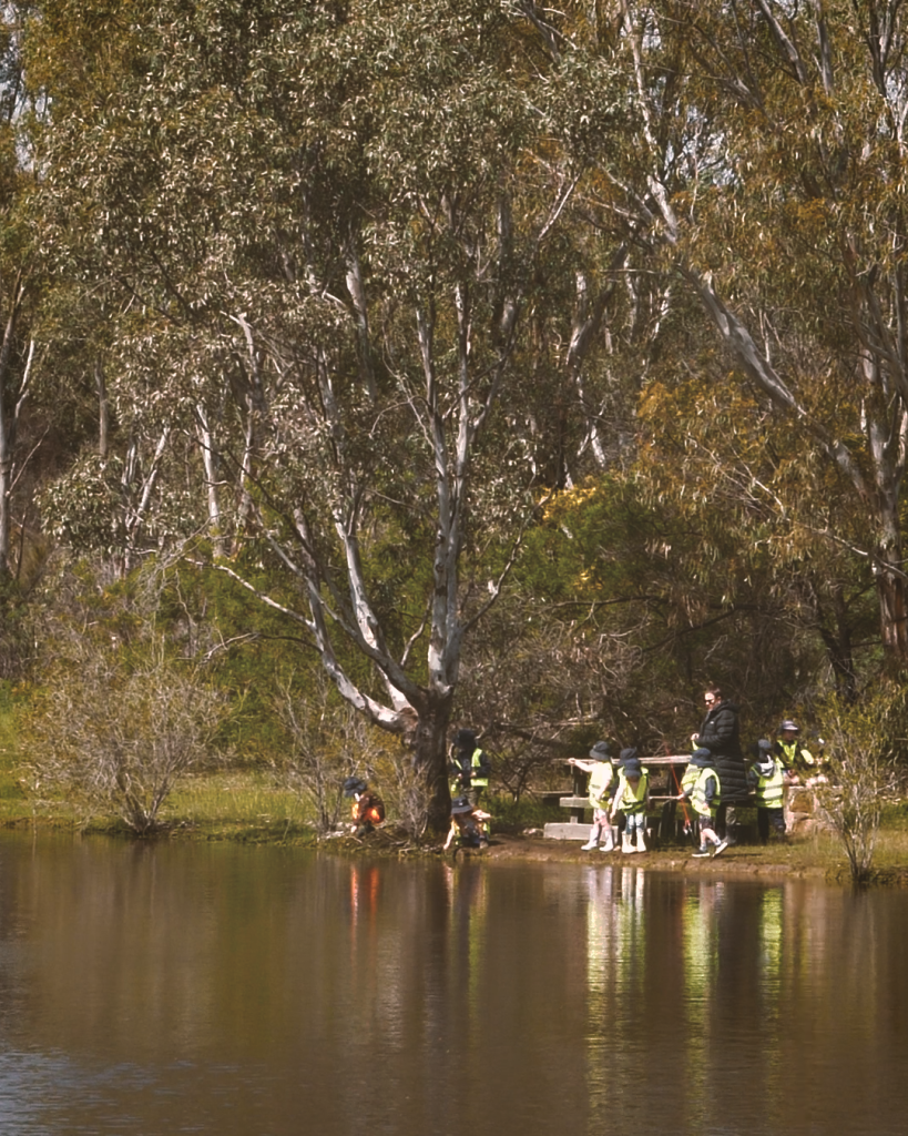
Surveys were conducted using the standardised 2-hectare 20-minute method which is widely used to monitor terrestrial birds in Australia, and is the preferred method recommended by BirdLife Australia’s Atlas Project. A total of 73 sites were established.
In Autumn 2026 (from 19-22 May inclusive), a subset of 44 of these sites were sampled within the areas affected by the devastating bushfires of January 2026 – termed the Longwood Fire Area. Most of these sites were on privately-owned property and were accessed with the permission of the relevant landholders. The Condition of Vegetation Rapid Assessment Method (COVRAM) app was used to record the site location (from a photograph taken through the app which uses geographic metadata associated with the image) and allocate a category as to whether the site was burnt or partially burnt (i.e. at least 50% unburnt).
The aim of the surveys was to conduct an initial post-fire assessment of the bird communities at these sites, four months after the fires. A solid set of baseline data had been established from previous surveys which can be drawn upon for comparison.